Sable Island, Nova Scotia
Everyone aboard was really looking forward to getting onto Sable Island....NOPE...the pussy captain decided the surf was too rough and the best we could do was a zodiac ride up and down the beach. BIG disappointment for all.
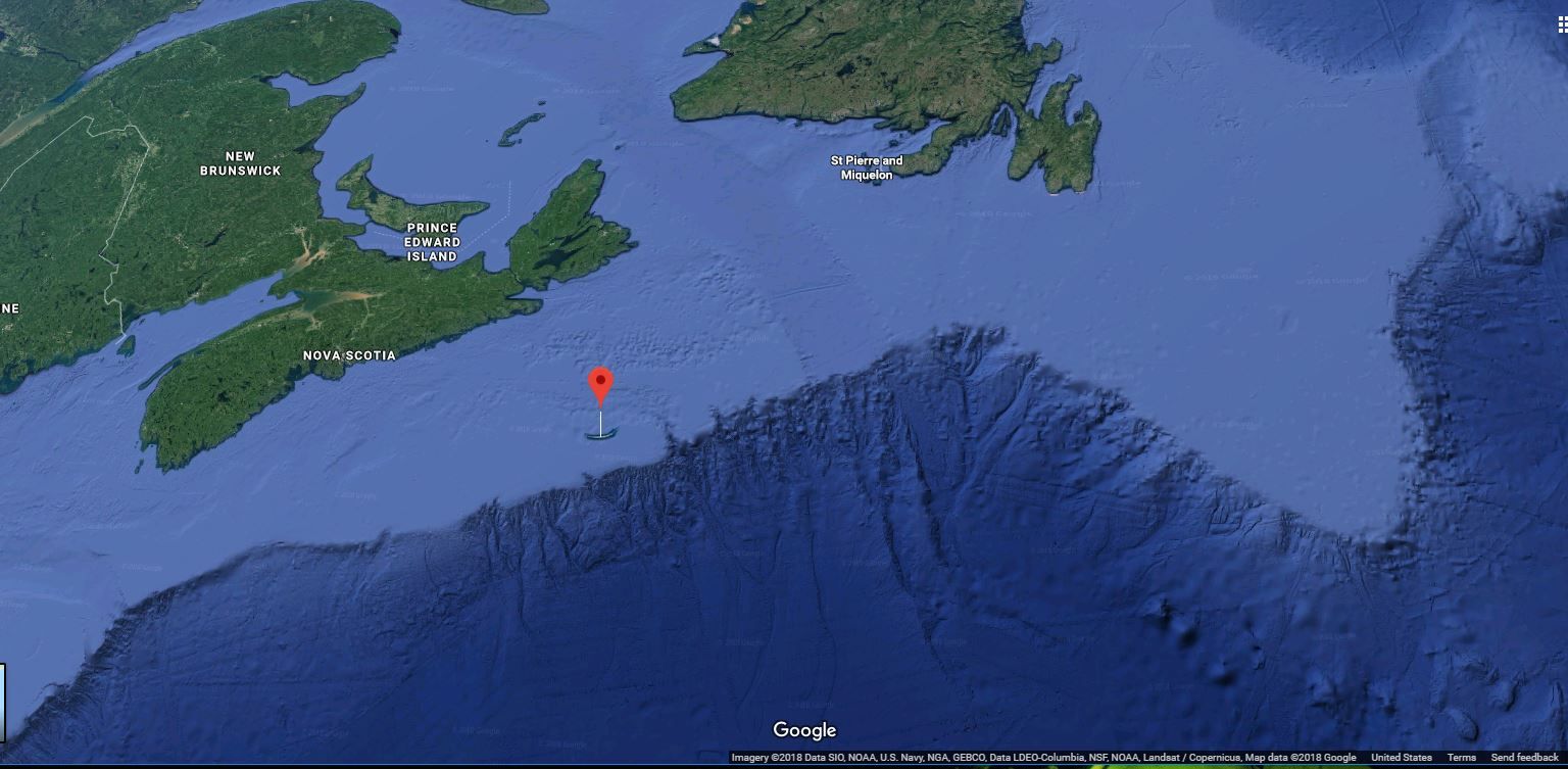
The map below shows the location of Sable Island. Quite a ways from Nova Scotia (about 160 km or 100 miles) and just on the edge of the continental shelf.
From WikiPedia: Sable Island is believed to have formed from a terminal moraine deposited on the continental shelf near the end of the last Ice Age
This is a screen cut from Google maps and the blue areas inside the red circles are actually Google "street views".
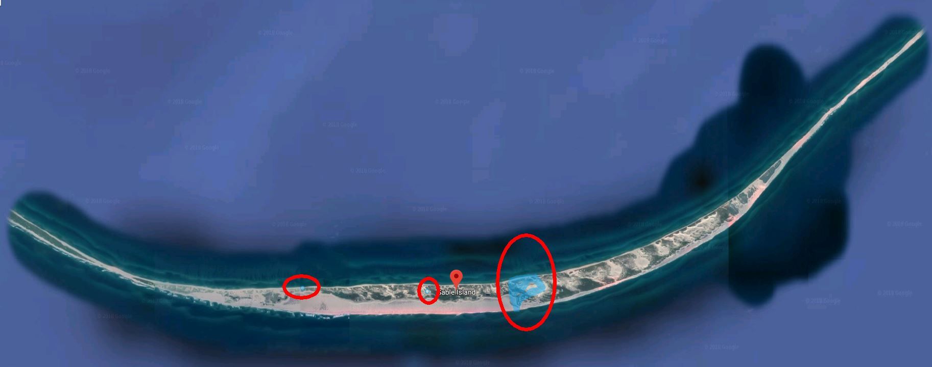
So ...click here..and here...and here
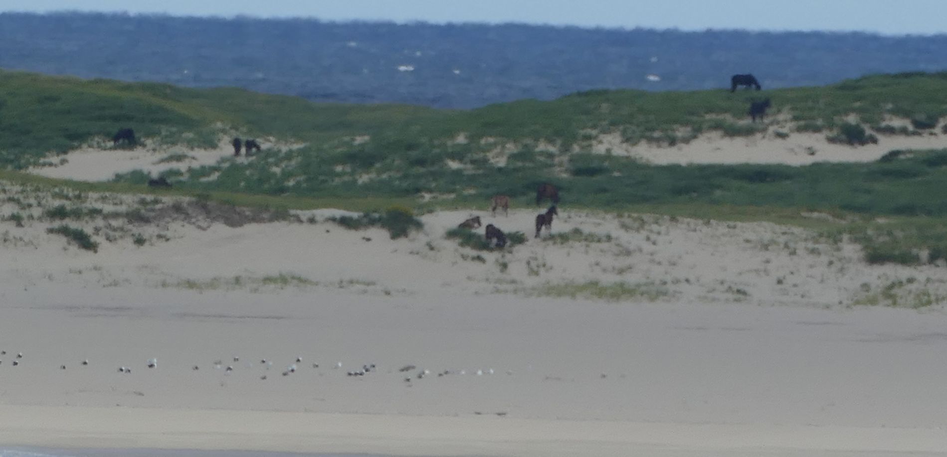
The big draw (for me anyway) was the wild horses that inhabit Sable Island.
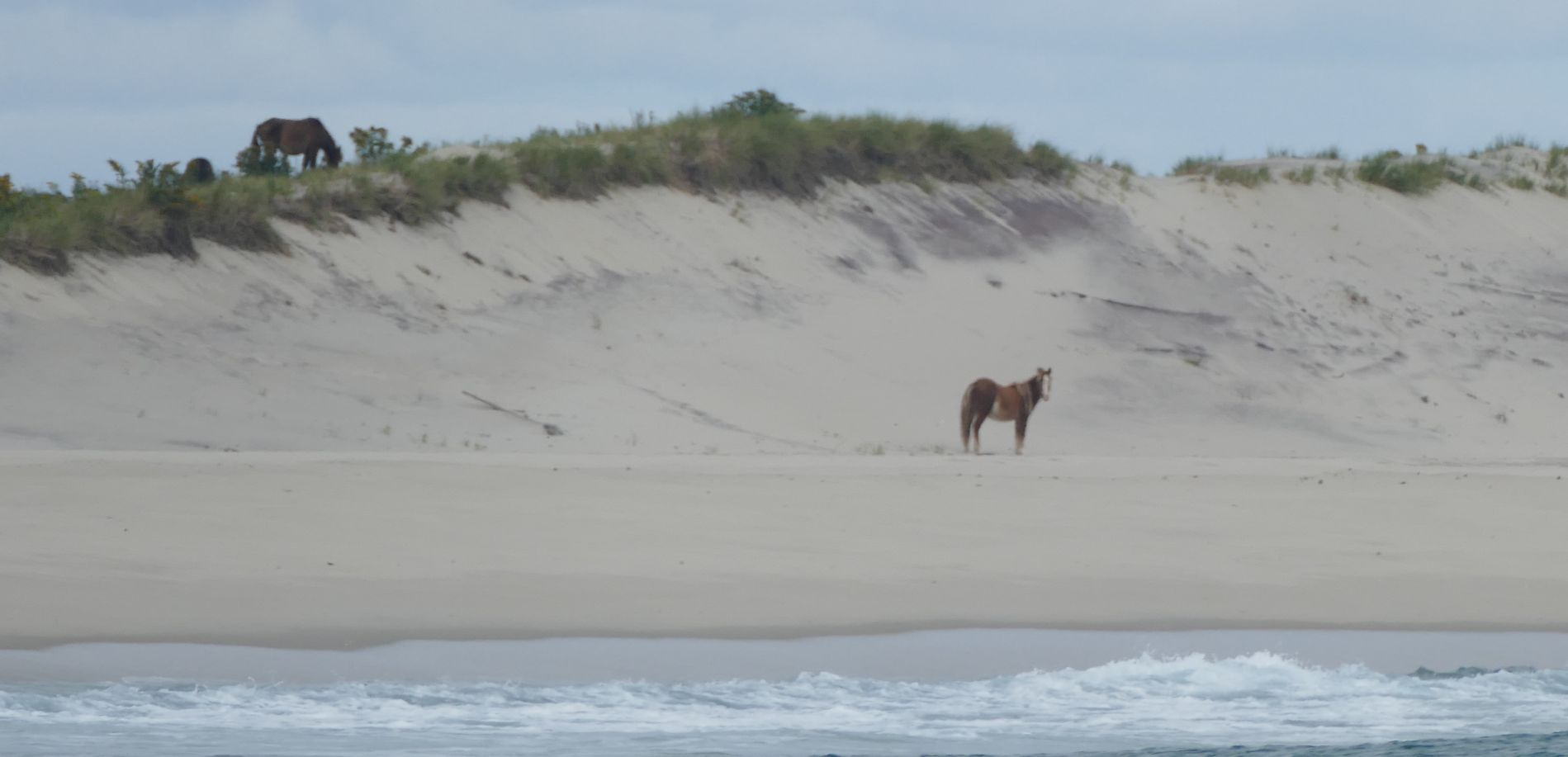
There is some discussion about how the horses got on the island and no one knows for sure. There are about 500 of them and we certainly saw a few from the zodiacs as we cruised up and down.
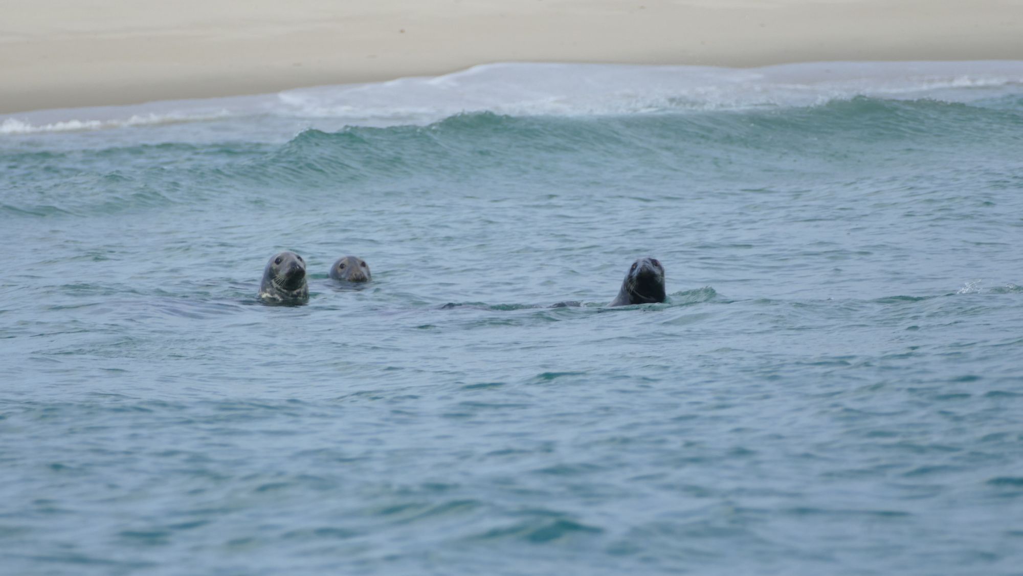
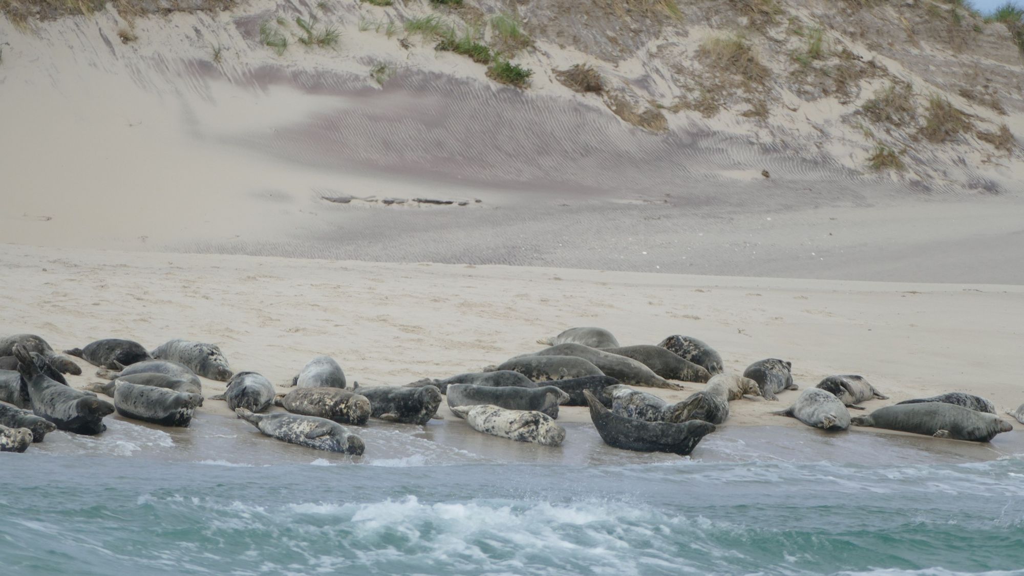
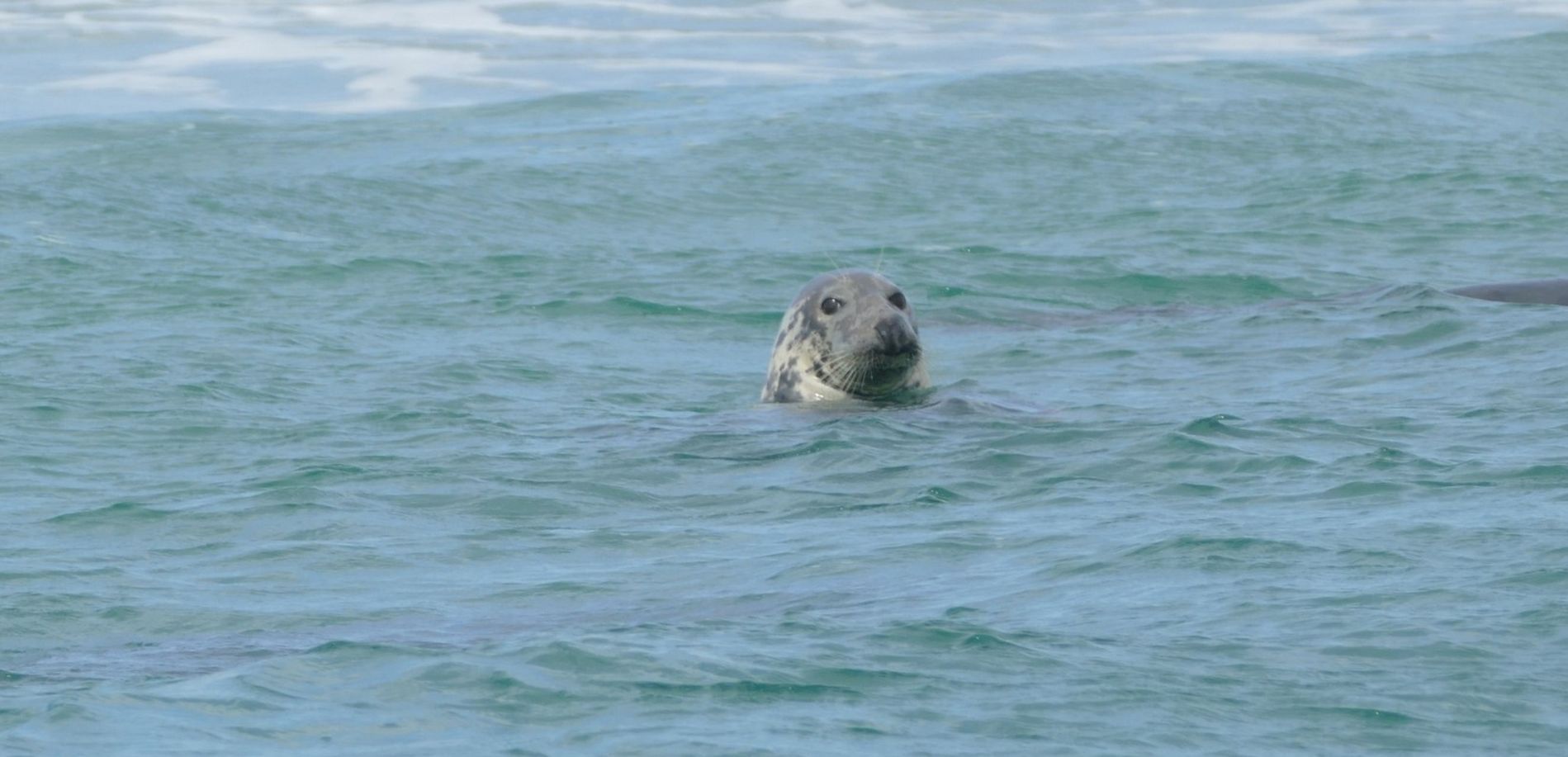
We also saw lots of grey seals but nothing like what we saw on our Silversea trip last August.
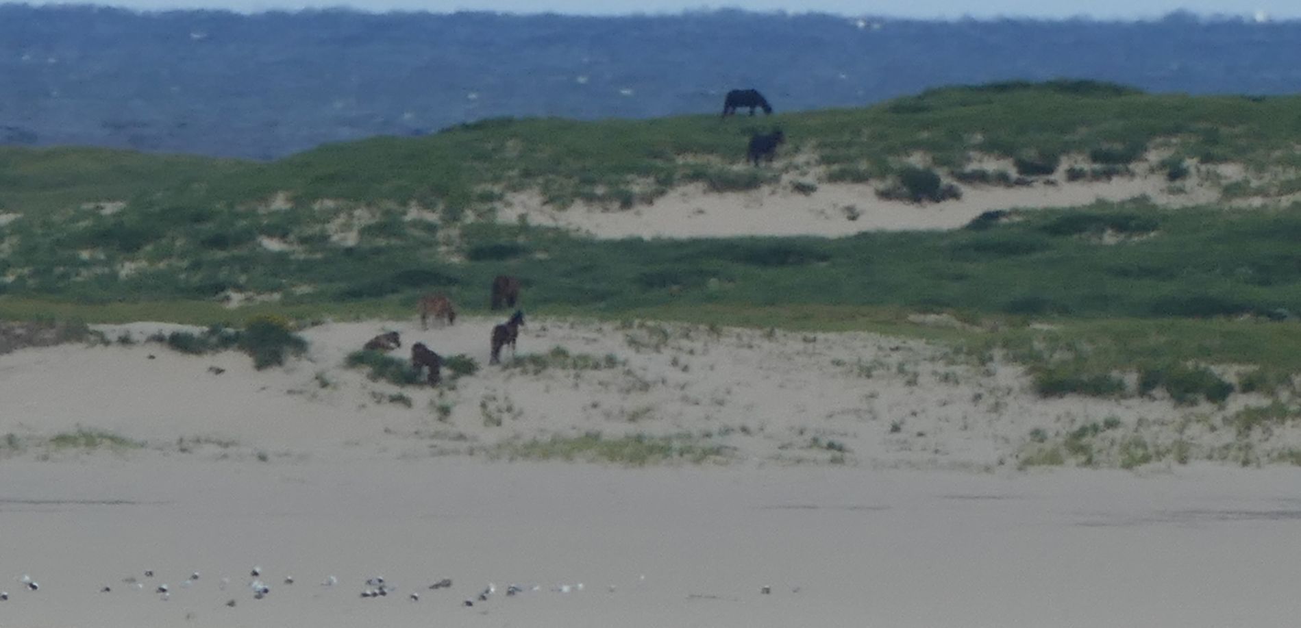
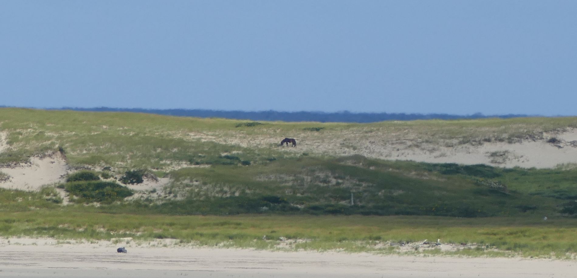
So the shots below are not that good...they were taken from a longs ways out - the sissy zodiac driver wouldn't go close to the shore but you can see a small herd of horses. There might be 10 in this group.
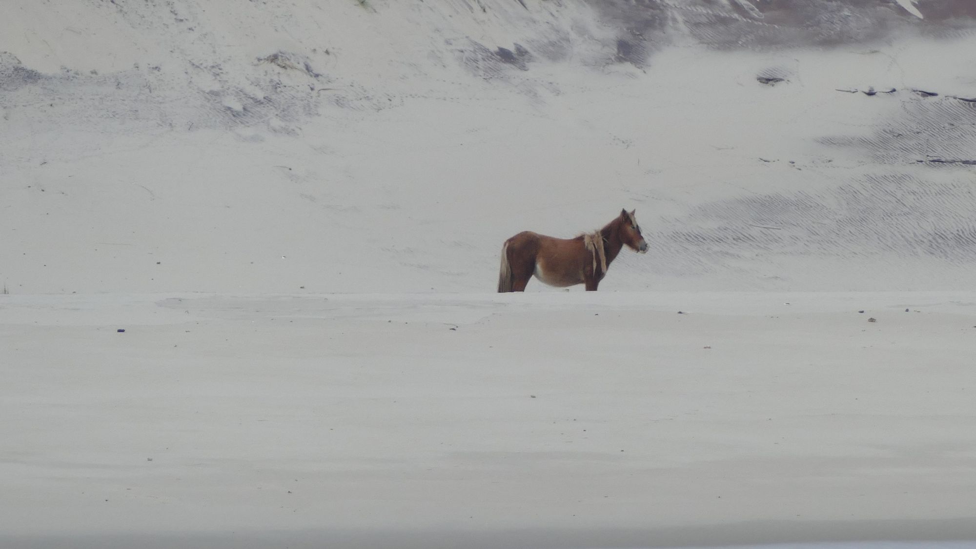
And some solos.
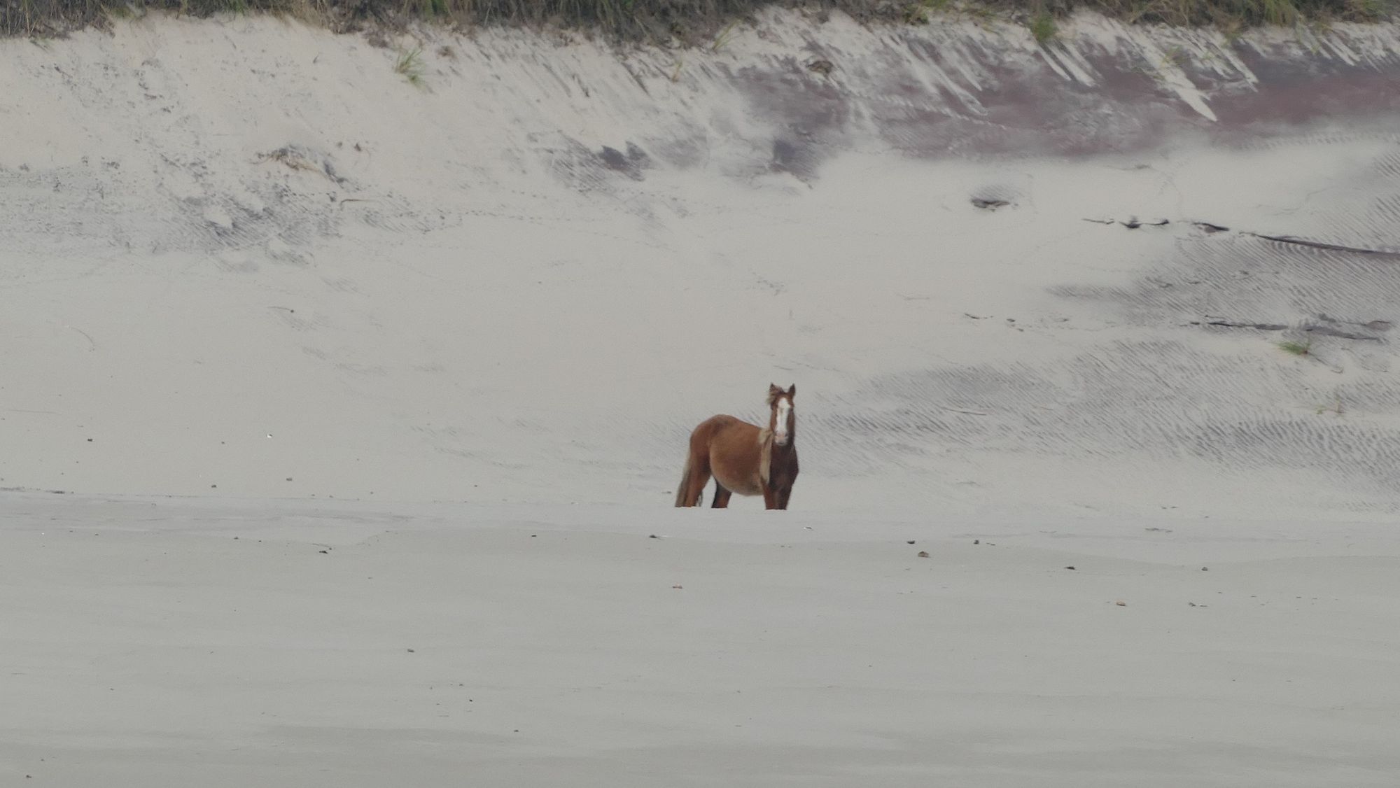
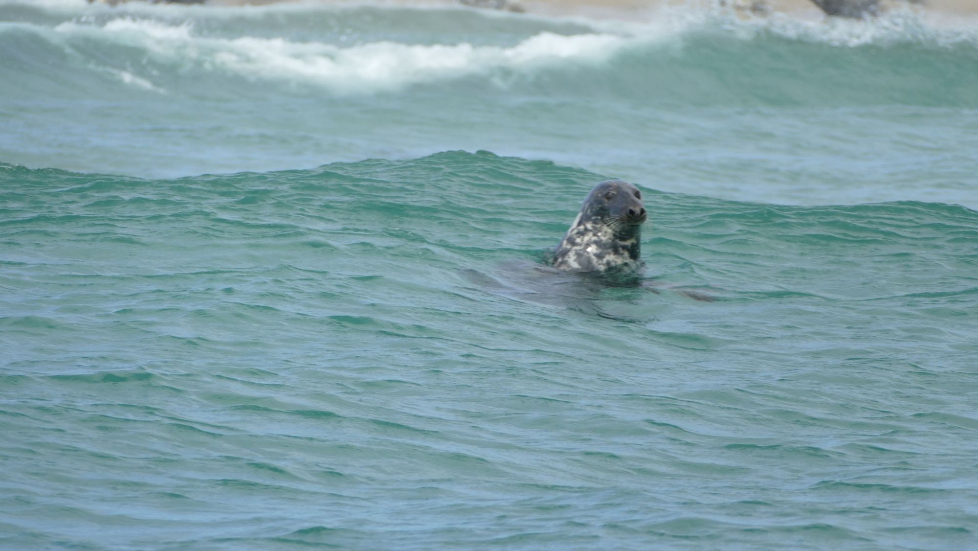
This guy (or gal) is checking us out. He (she) definitely knows we are there.
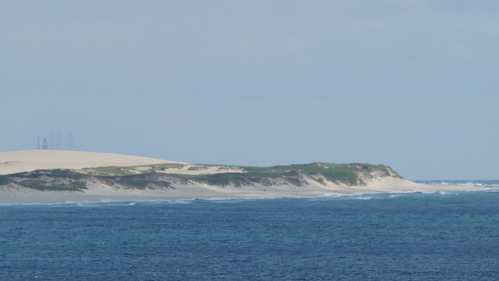
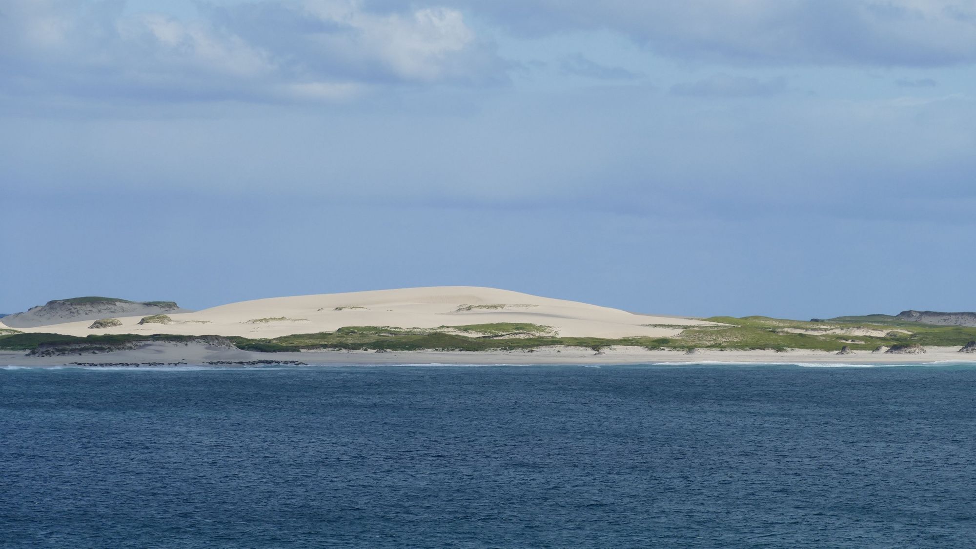
A few shots of the landscape. There is something strange on the left side of the pic...see what it is later.
Another lonely horse.
And some of the seals. They were aware of us and very curious.
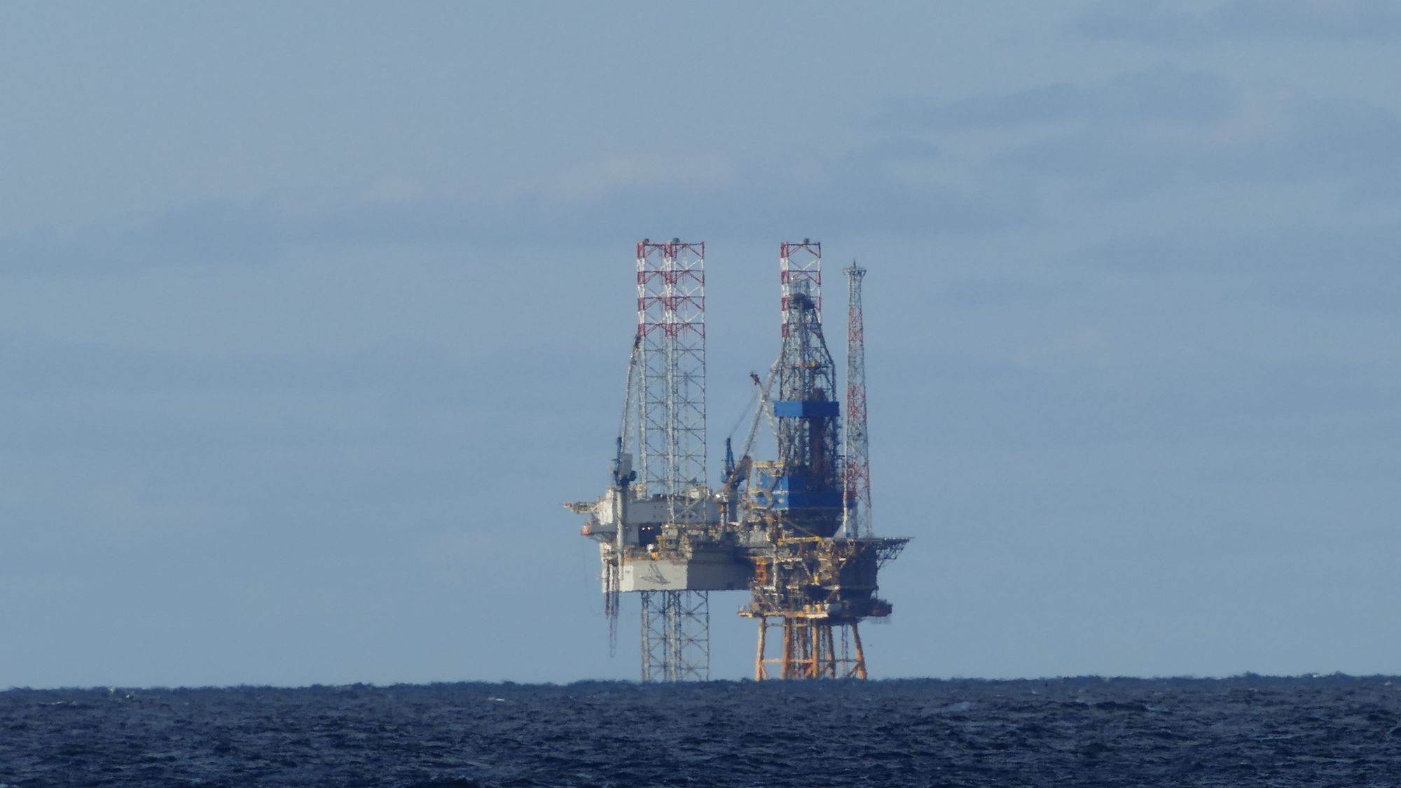
A drilling rig right off the shore at Sable Island.
That's it!